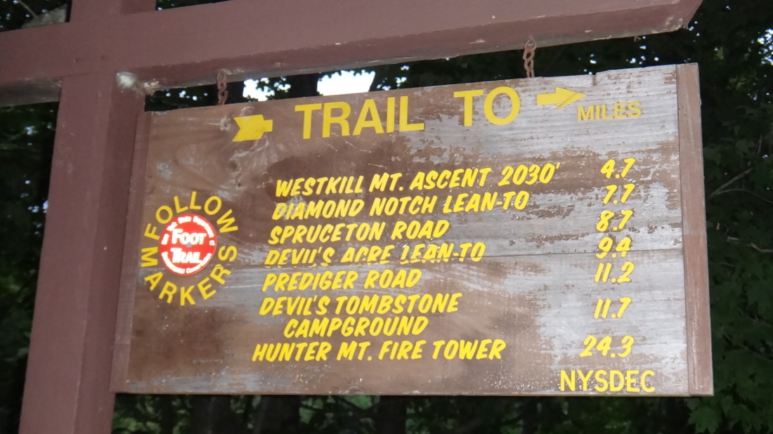
The Devil's Path: The Beast of the eastNew York's Catskill Park, 24 miles and 9,000 feet of vertical gain (and 9,000 feet of descent) on a footpath for those that enjoy a challenge.
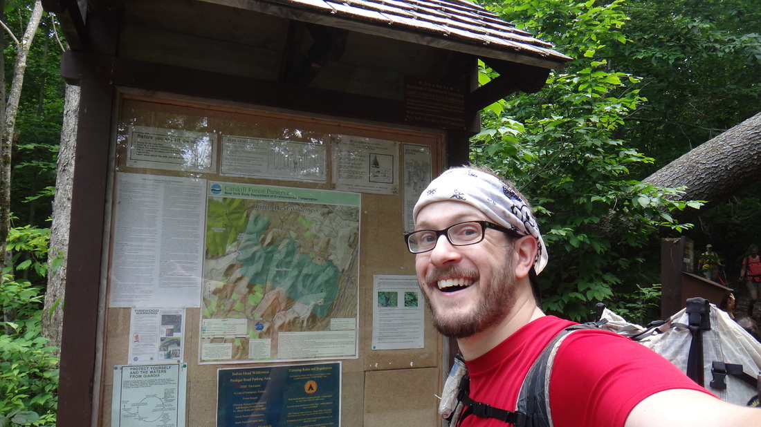
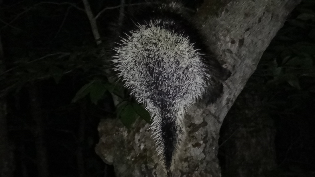
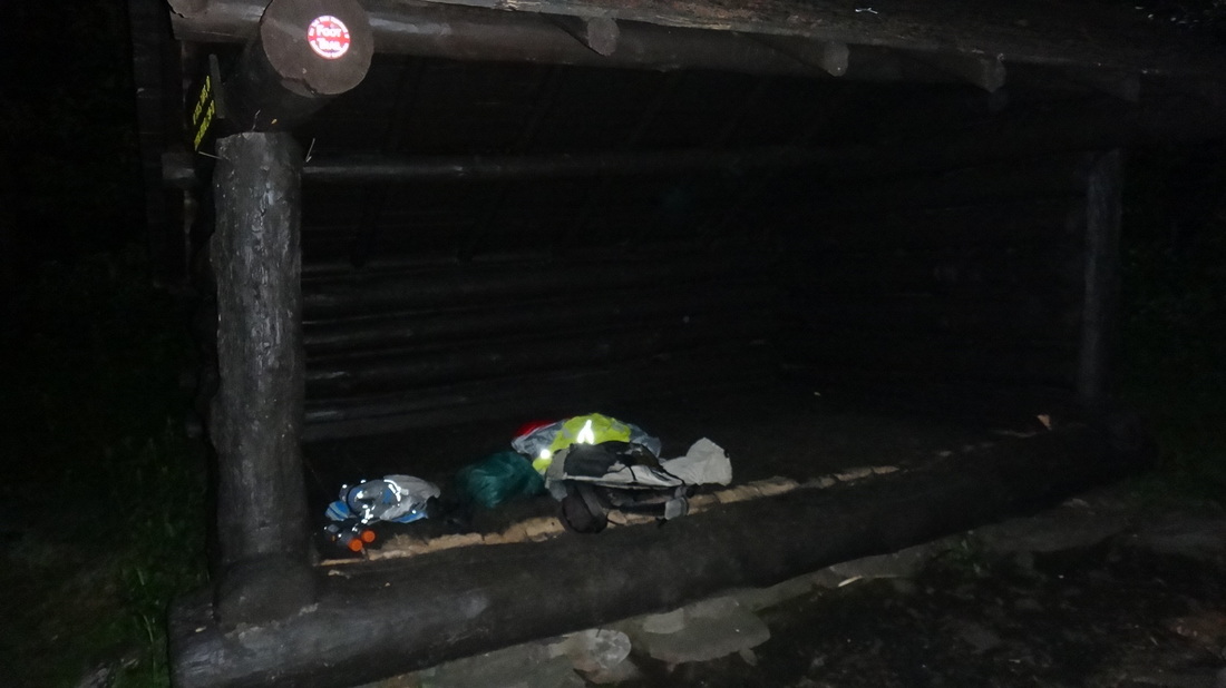
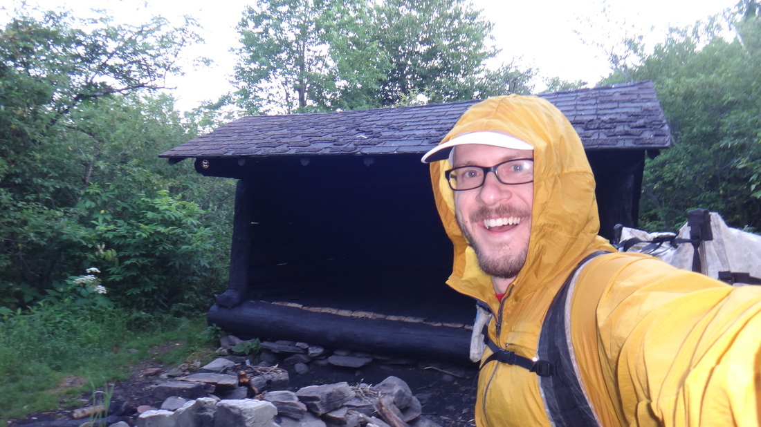
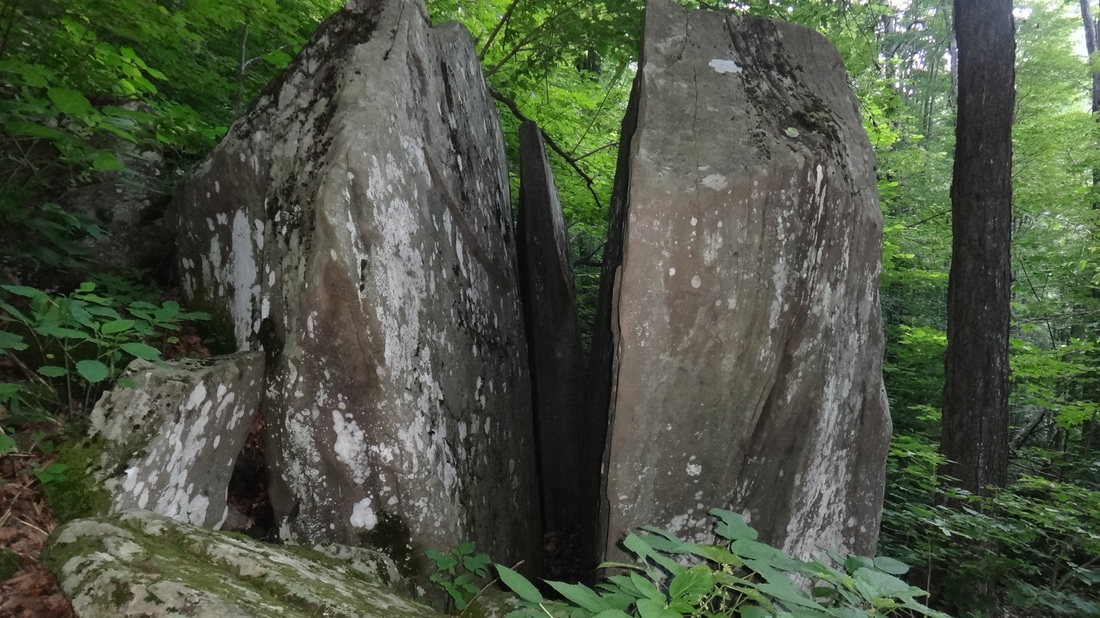
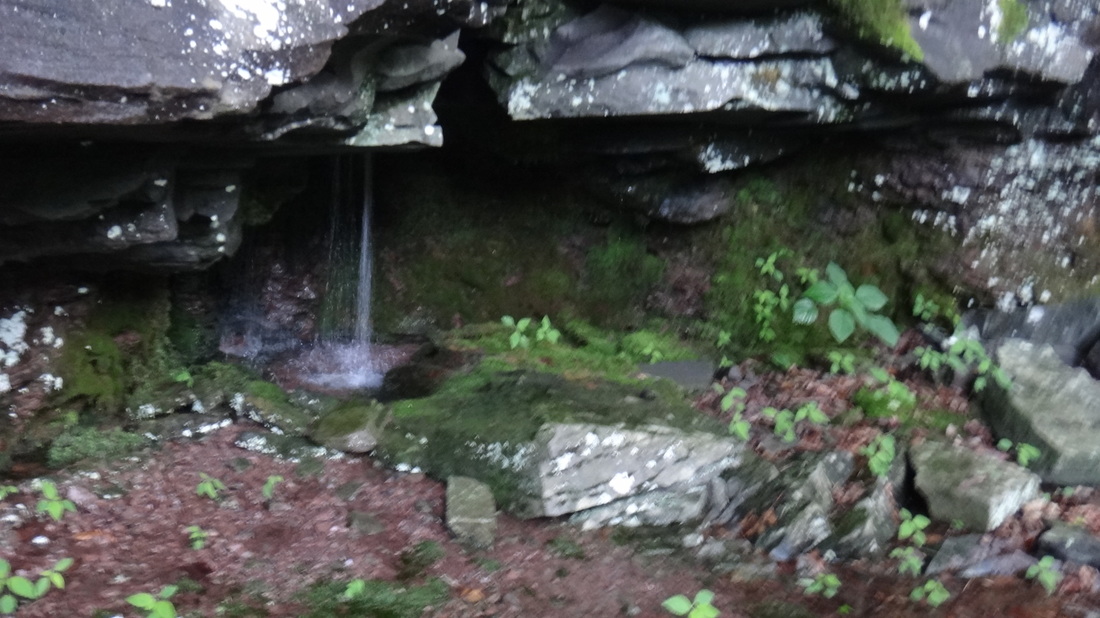
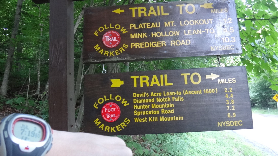
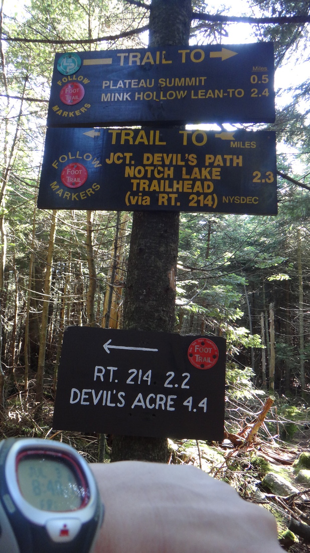
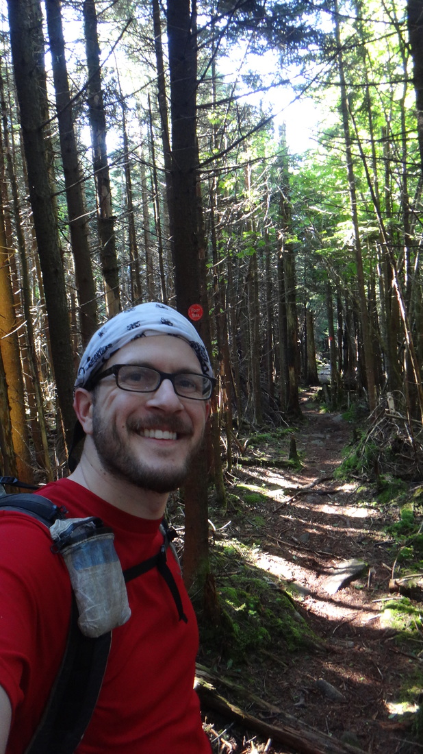
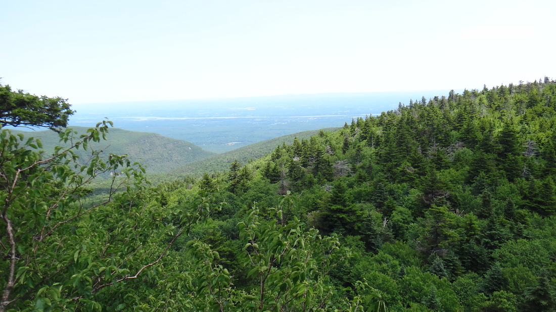
A Thursday night that ended with punching out at work at 5:03pm and running for the car, gear packed and a loosely held idea, crazy as it sounded, reverberating through my head. "Let's hike the Devil's Path this weekend" said my brain. "WWHAATTT?" my limited sanity screamed back. With fun having been promised and lied to me in equal parts, I reasoned that how hard could it be to jump off the couch and hike what has been described as the "hardest 24 miles on the East Coast". I was eager to find out, so by 9:00pm on July 2nd, 2015, I was marking the time on my watch and hiking out by headlamp into the murky black of the trail at its Western terminus. With recent rains to help saturate the trail to a nice soppy cookie dough consistency, my feet immediately began the dance around the roots and rocks that would come to mark much of the trail, regardless of the associated elevation changes. With the "sploosh squish" of my running shoes making the only sound in the forest, I ran into my only friend for the evening, a scared porcupine that ran straight up a tree upon my arrival to its spot on the meandering trail. I was able to get a great shot of its ass. Even with it being a holiday weekend - I shockingly arrived almost 9.4 miles and 4 hours later to the empty Devil's Acre Lean-To. Please with my progress for the night, I decided to stay at the shelter till morning and avoid a solo-thru-hike-midnight-tripping incident that I was sure would inevitably occur if I pressed on and kept hiking. Evening temperatures had started out as a comfortable 58 degrees and quickly slid down into the overnight lows of 40* with a light breeze, cooler than I'd anticipated when packing my $10 Amazon synthetic 55* sleeping bag I'd packed in case I needed to simply throw down on the side of the trail for the night. Wearing the ever helpful windshirt and windpant combo, I slept surprisingly comforably until almost 6:00am before eating a snack bar, wrapping up my bear-bag rope and hitting the trail once more. With the morning mist still clinging to the forest floor, I was glad that I took time to break and rest, as one of my two headlamps, the one I wear on my wrist, had finally given up the ghost on lighting and blinked out after 4 hours of full power usage. A brisk pace helped get my body warmed up as the morning chill slowly burned off with the rising of the morning light. I passed by the side trail to the Mt. Hunter Observatory, wishing that I could have journeyed up to that spot for the night, but not really wanting the almost 3 mile round trip on the side trail. Passing many interesting rock formations, the most interesting ones being those that you don't have to stumble down, or scramble up, I weaved my way through the intricate forest dance. Around 7:30am saw me cross NY 214 at Stony Clove Notch and the Devil's Tombstone State Campground before beginning my ascent of Hunter Mt. Passing the 3,500 feet elevation marker giving some indication that all my up and down struggling was actually taking me on a journey of mountain tops. My efforts thus far had kept me moving along, and I soon found myself only 10 miles from my final destination, and plenty of time to while away sitting at waterfalls and staring into the valleys from the mountain top view points. General Timeline: FRIDAY 1. 9pm = Start at County Route 6 (Spruceton Rd.) 2. Midnight = Diamond Notch Bridge (7.2 mi) SATURDAY 1. 1am = Arrival at Devils Acre Lean To (9.4 mi) 2. 6:30am = Depart Devils Acre Lean To 3. 7:30am = Arrive at NY RT 214 / DA CG (11.35 mi) 4. 8:10am = Plateau Mt. Lookout 5. 9am = Plateau Mt. Summit 6. 9:30am = Cross SPRING on trail (15.65 mi) 7. Noon = Sugarloaf Mt. Summit 8. Pecoy Notch Jct. 9. Summit of Twin Mt. (3,640 ft) (E and W peaks) 8. 12:25pm = Jimmy Dolan Notch 9. Summit Indian Head Mt. (3,573 ft) (20.4mi) 10. 3:04pm = Finish at Flatte Clove Rd. / Prediger Rd. (25.15 miles) An almost empty path all to myself in the glorious woods. Saw my first hikers around 10am and then as I approached the more popular Eastern section, soon saw a number of groups summiting peaks. 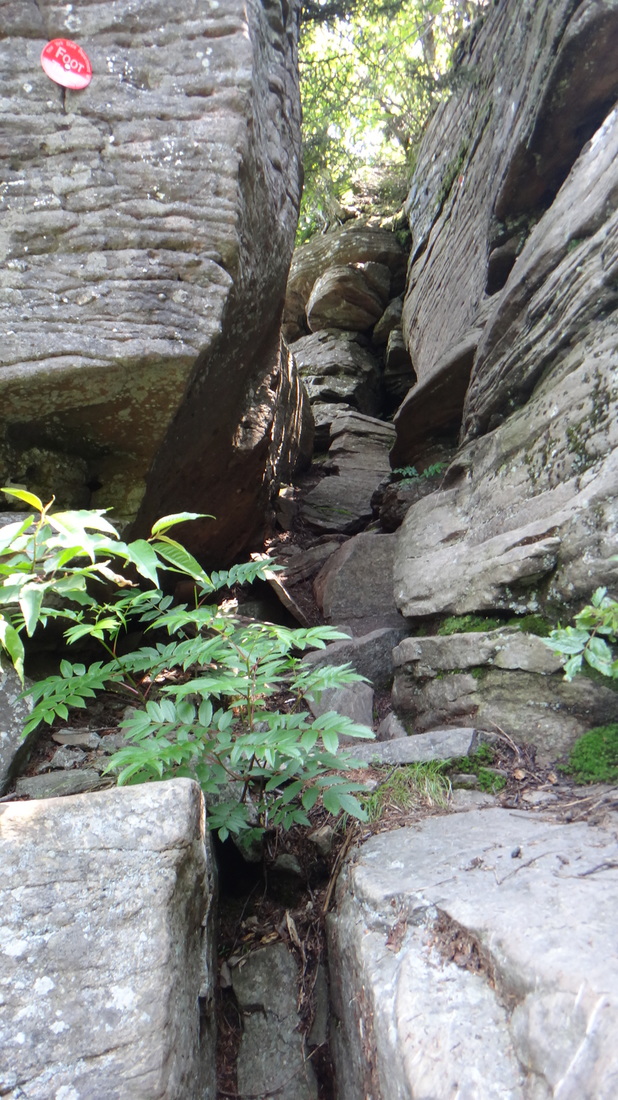
|

As will all good adventures, I stopped my watch at 3:04 after the sign, and enjoyed yet another good sit down on a random stump as I contemplated my injury free and challenging hike of this unique and in some part, total B**S** trail in all its glorious difficulty! |
Deciding to quit while I was still ahead, it took only a half hour of contemplation before I bagged my plans of hiking another 6 miles to join up with the Escarpment Trail and join a running group Sunday morning for an 18 mile trail run. I may be stupid, but I'm only partly crazy !
Another trip in which I enjoyed both the Peaks and the Valleys. 24 Miles and 18,000 feet of either climbing or descending reminded me of only two places I've ever hiked before that compared to this overnight jaunt - Northern Vermont on the Long Trail, and the Northern Cascades in Washington State along the Pacific Crest Trail. Worth every step, because if it was easy - everyone would be doing it!
Hike on!